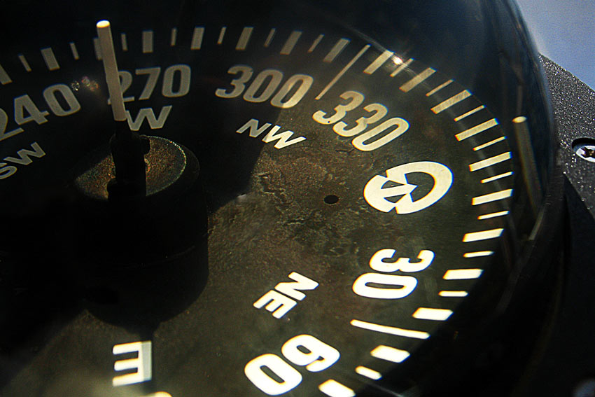
Whether you’re an avid outdoorsman or a sunshine fearing cubicle dweller, knowing the basics of navigation can be a life saver. With all of the technology we rely on today, many of us have lost touch with getting ourselves from Point A to Point B. Brush up on your Nav Skills with some of our Navigation articles below.
The Complete Guide to Land Navigation with the MGRS
What if your life depended on your ability to navigate with a map and compass? Would you find yourself more alone than you’d hoped? In this article, we go over the Military Grid Reference System (MGRS), which we feel is not only a better representation of our 3D world on a two-dimensional map, but also simple and easy to use. Click here to learn more about the Military Grid Reference System.
How to Navigate with The Stars and Find Your Way
Most people understand the concept of the earth revolving around the sun and in turn, its own rotation. It’s also important to grasp that here in the Northern Hemisphere, the stars may seem to spin around the North Star, or Polaris, rising in the east and setting in the west, but in reality it’s actually the earth rotating around the other way. Click here for more information on using the stars to find your way.
The Lost Art of Reading a Road Atlas and Hitting the Open Road
We always carry a current version of the popular Rand McNally Road Atlas in our vehicle and like to consider it a backup to electronic Navigation. With nothing more than a mile marker and general knowledge of where we are, we can navigate to just about anywhere in the United States via roads and highways. Not only that, but give you the approximate distance in mileage between where we’re currently at and the next town ahead. All thanks to the indispensable Road Atlas. Click here to learn more about hitting the open road using an atlas.
How to Fold a Topographic Map and Other Techniques
Hopefully many of you are not only familiar with Topographic Maps, but have had some experience folding them. We say this to relate to how much of a pain they can be to manage. In this article, we hope to show you a few new techniques for folding a topo map, or any map for that matter. These are universal and can be used on any map. Click here more information and techniques for folding maps, topographic or other.
Land Navigation: Calculating your Pace Count
In land navigation it’s important to crawl before you can walk, and determining your pace count is fundamental. Every bit of information that you can gather about your location has its place in navigation, so no techniques should be discounted or ignored. A pace count will enable you to know the distance you’re traveling by determining, in advance, the number of paces it takes you to travel a pre-set distance. You’ll then need to give yourself some kind of reminder that you’ve covered that distance, as well as each time you hit your magic number, or pace count. Click here for more information on finding and calculating your pace count.
Still hungry for more information? Click here to view an entire series we ran on Navigation!
Do you have other navigation tips that you use? Let us know in the comments below. See you out there!